GoPilot, Now in Real Time
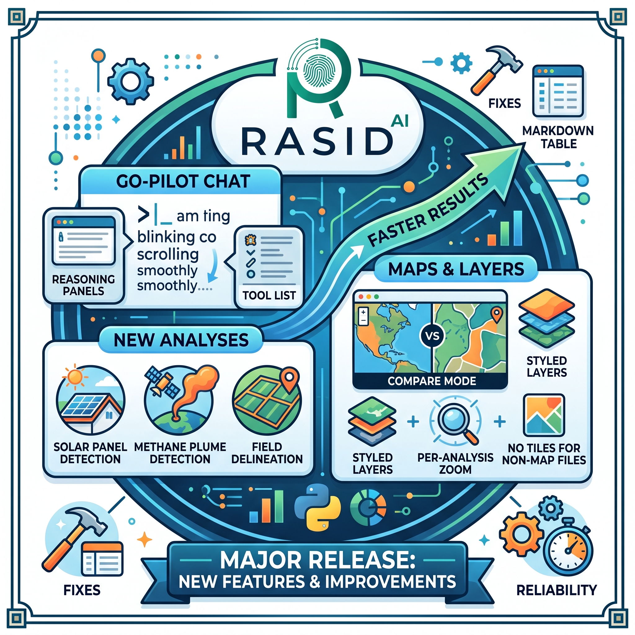
GoPilot becomes more transparent, responsive, and resilient with this update. You can now follow GoPilot's reasoning and tool activity as it happens, enjoy smoother streaming responses, and continue an active generation even after refreshing the page. The update also expands GoPilot's Earth Observation capabilities with Solar Panel Detection, Methane Plume Detection, Enhanced Field Delineation, and new SAM 3 and DINOv3 integrations, while introducing global DEM and ERA5 data, styled map layers, smarter map rendering, faster results, a new ArcGIS Pro add-in, and an updated QGIS plugin. This release also includes a range of reliability and platform improvements across the RASID experience.
🤖 GoPilot: More Transparent and Responsive
🧠 Real-Time GoPilot Experience: GoPilot now shows its reasoning and tool activity as it happens, streams responses smoothly and progressively, and automatically follows the latest content while generating. If you scroll up, the conversation gives you control, while improved streaming keeps formatting stable and readable throughout the response.
🔄 Generation Persistence: GoPilot can now continue an active response after a page refresh or navigation. The generation resumes when you return, while the input remains locked until the response is genuinely complete. This works for both signed-in and anonymous sessions.
🧩 GIS Integrations
🗺️ New ArcGIS Pro Add-in: GoPilot is now available directly within ArcGIS Pro, bringing our geospatial capabilities and workflows into the ArcGIS Pro environment.
🔄 Updated QGIS Plugin: The GoPilot QGIS Plugin has been updated with the latest improvements, providing a smoother and more reliable experience for working with GoPilot directly from QGIS.
🌍 Expanded Earth Observation Intelligence
GoPilot now brings several advanced Earth Observation analyses directly into conversational workflows.
☀️ Solar Panel Detection: Detect and count solar panels in high-resolution RGB imagery, supporting renewable energy mapping, infrastructure assessment, and solar deployment analysis.
🌫️ Methane Plume Detection: Detect potential methane plumes using Sentinel-2 imagery by comparing a target date against reference imagery from the surrounding period, helping identify changes from normal conditions.
🌾 Enhanced Field Delineation: Our Field Delineation model has been enhanced to deliver more accurate field boundary detection using either Sentinel-2 imagery at 10 m resolution or high-resolution RGB imagery, improving agricultural mapping and analysis.
🧠 Advanced AI Models: Added integration of SAM 3 and DINOv3, bringing advanced segmentation and visual feature extraction capabilities to our geospatial analysis workflows.
✅ Smarter Input Validation: New analyses now validate imagery requirements before processing begins, checking resolution and required bands upfront so incompatible inputs are identified clearly before an analysis starts.
🗺️ Smarter Map Visualization
🎨 Styled Map Layers: Raster and vector analysis results can now carry their own styling through Styled Layer Descriptor (SLD) definitions, ensuring that colours and class breaks are rendered consistently with the underlying analysis.
🔍 Intelligent Zoom Levels: Map rendering now adapts to the appropriate zoom range for each analysis instead of relying on a fixed range, with automatic zoom configuration available when needed.
⚡ Faster Non-Map Results: Tables, reports, and other outputs that don't require map visualization now complete without waiting for other layers that require map processing.
🌐 Expanded Data Availability
🗻 Global DEM Data: Digital Elevation Model (DEM) data is now available globally, providing elevation information for terrain analysis and geospatial workflows.
🌦️ ERA5 Climate Data: ERA5 reanalysis data is now available, providing historical weather and climate information for environmental, agricultural, and Earth observation analyses.
🚀 Faster Results
⚡ Parallel File Processing: When GoPilot generates multiple files in a single response, they can now be prepared in parallel instead of sequentially.
🔁 Smarter File Processing: Files referenced multiple times within the same response are processed only once, reducing unnecessary work.
🛠️ Reliability and Platform Improvements
🔧 More Reliable Processing: Improvements to the platform's service coordination help state changes propagate more reliably and ensure interrupted jobs transition to a clear failed state instead of remaining stuck.
📊 End-to-End Performance Monitoring: New timing and diagnostics across the GoPilot pipeline make it easier to identify bottlenecks and improve platform performance.
🐛 Markdown Table Fixes: Markdown tables now render correctly, including cells containing '#' characters.
🔗 Improved Result Links: File links generated within GoPilot now load more reliably without browser security issues.
📥 Clearer Download Errors: Attempts to download unavailable files now return a clear "not found" message instead of an error page.
✨ General UX Improvements: Additional refinements improve responsiveness, stability, and the overall GoPilot experience.